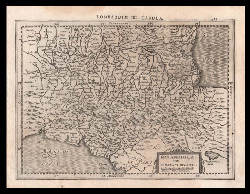
Carta geografica di tutta l’Emilia Romagna, ossia Romandiola e Ducato di Parma, pubblicata da Johannis Cloppenburgh in una delle riedizioni del fortunatissimo Atlas minor, opera che ha attraversato tutto il seicento, fino ad arrivare al 1738.
DOMENICO CERAMI. LA PERCEZIONE DEL CONFINE NELLE TERRE DELL’EMILIA OCCIDENTALE (SECOLI VII-XI). In: Uno storico e un territorio. Vito Fumagalli e l’Emilia Occidentale nel Medioevo. CLICCA SOTTO:
http://www.valcenostoria.it/wp-content/uploads/2021/10/La_percezione_del_confine_nelle_terre_de-1.pdf


